Actually the heading is a bit of a con, yes, I did go and see the diversion, to see how well it is marked, but I could also call this; What to do on a wet Sunday morning? I left a village covered in cloud and returned to a village covered in cloud but the drive through the Canyon de Sil was beautiful.
I usually get lost in Monforte but I eventually found the road out to A Vide, the LU3204. The first 2.5kms are along the side of the road, at A Vide the sign says to enter the village. I got lost here when I was walking, I couldn't see any signs in the village, they may have been there in September but not where I was looking. I thought I had walked into the village for a reason but there is no reason, the path circles a couple of houses and then returns to the road! In fact instructions that say; 'turn into the village' are very misleading. In september I turned into the village, it is a big village or maybe several connecting villages, but the path just takes the edge, just parallel to the road.
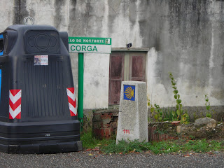 |
| The mojon leading into the village |
 |
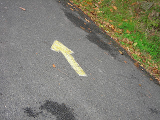
| an arrow confirming you are going the right way! |
 |
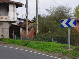
| and continue, to the right |
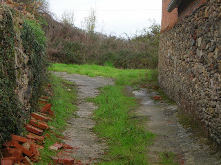 |
| muddy cow dunged path |
At this point one could imagine that the path is going to lead somewhere, but, guess what, it goes back to the road. The only advantage for me today was that I did not have to pass the Guardia Civil twice!
 |
| and the path goes out again! |
 |
| the original path lead by the electricity posts. |
 |
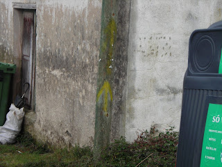
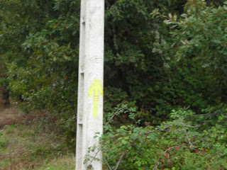
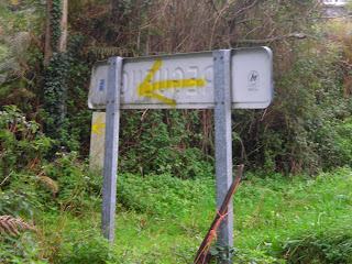
| these posts now have a yellow cross. |
 |
| The mojon has a yellow arrow pointing away from the path. |
The arrows now point up the road, some of the road has trees on both sides and was obviously difficult to sign.
 |
| past the little church. |
 |
| sign just after the church |
 |
| sign on the road after the trees. |
 |
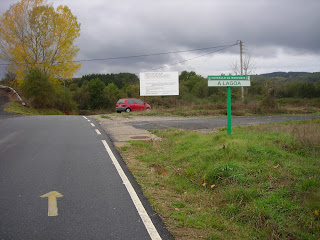
keeping straight up the road.
|
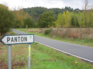
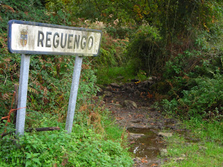
The sign for Panton is at about 5kms. At 5.5 one arrives at Regueiro.
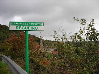 |
| sign for Regueiro and the little church |
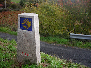 |
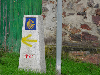
| Mojon on the roadside |
 |
pink parking lot and arrow on the wall
|
The next few kilometres are well signed, at about 6.5 kms there is a road junction and it is well signed to take the LU 4112 towards Reguengo. After the Pazo de Reguengo, the signs still point down a muddy path, but I continued on the road, I was driving! The signs continued to appear on the road as well!
 |
| The arrow on the back of the Reguengo sign |
 |
| The sign and the muddy path. |
 |
| The mojon |
 |
| arrow pointing straight up the road after the turn off for Pineiro |
 |
The sign to Pineiro leading from the road to the village.
|
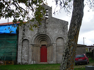 |
| The Church at Diamondi |
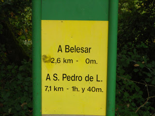 |
| distance signs at Diamondi |
The distance by road from the roundabout at Monforte to Diamondi was 23 kms. How can it possibly be 29 kms from Monforte to Chantada?


